chrisphan.com

Same latitude

An analog clock reading 6:20 2025-07-15 / 2025-W29-2T18:20:00-05:00 / 0x6876e220

Categories: fun, Oregon, Minnesota, geography

The community where I lived the longest is Sandy, Oregon, where I grew up. In second and third place are, respectively, Winona, Minnesota and Eugene, Oregon. Winona is the town where I have made my home, having moved here almost 13 years ago. I lived in Eugene for nearly six years, between 2003 and 2009, when I attended graduate school at the University of Oregon.

Map of the contiguous United States, with Oregon and Minnesota highlighted. The locations of Eugene and Winona are marked with a dot, and their common line of lattitude is shown.
Eugene and Winona are both at the same latitude, just north of 44° N. State boundary data from the U.S. Census Bureau’s TIGER/Line shapefiles. Great Lakes shoreline data from Great Lakes Environmental Research Laboratory

Winona and Eugene are very different places. Although both college towns, they have significant differences in size, climate, and vibe. However, one eerie similarity, which I did not notice until several years after moving to Winona, is that they are essentially at the same latitude, just above 44°N.

Two maps from OpenStreetMap. One is a low-resolution map of Eugene, Oregon. The other is a low-resolution map of Winona, Minnesota
Maps of Eugene and Winona centered at the same latitude. Maps provided by OpenStreetMap.

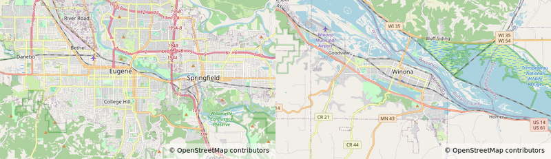
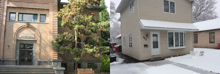
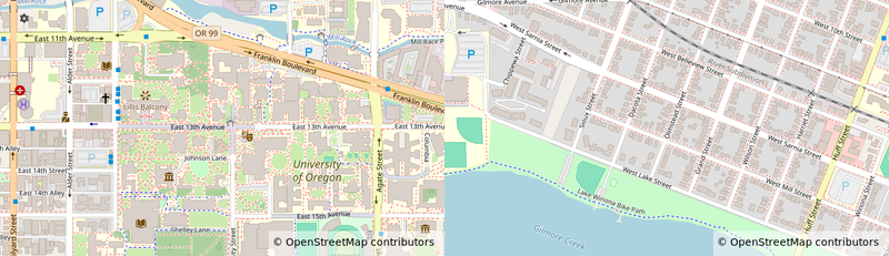
What I found even more surprising was that my (former) home in Winona (where I lived from the summer of 2013 until late last year), and Fenton Hall (one of the two buildings that house the University of Oregon’s math department) are at the same latitude. That is to say, if you stood in my former front yard and headed due west for several thousand kilometers, you would eventually find yourself in front of Fenton Hall.

Two photographs: on the left is a brown university campus building with stairs in front and a sign that says Fenton Hall. There is a conifer tree in front. On the right is a two-story house with beige siding. The ground is covered in snow.
Left: Fenton Hall, University of Oregon, October 2005. Right: My former home in Winona, Minnesota. Both these buildings are at about 44.0457°N latitude.
Two maps from OpenStreetMap. One shows the University of Oregon campus. The other shows a residential neighborhood of Winona, Minnesota
Maps of University of Oregon campus and my former Winona neighborhood, centered at the same latitude. Maps provided by OpenStreetMap.